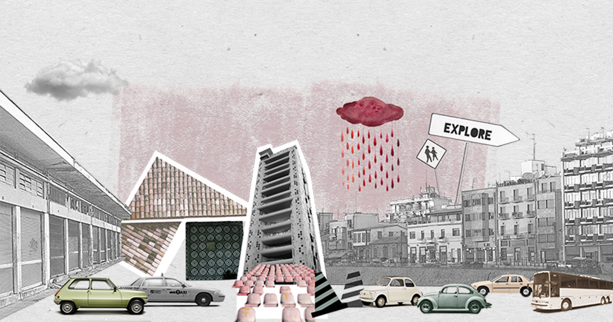
My thesis began as an investigation into the movements and life of the various groups of tourist & temporary visitors in Nicosia. The tools used were navigation & social media Apps that offer visitors directions & information on various local events and locations. This is the contemporary way that most tourists today experience a new environment. They wonder through cities via selected routes and hotspots highlighted by the particular application of their choice. Data that is integrated into these systems became the mapping tool and the highlighted routes consisting of various navigation choices become the new points on the map of Nicosia and the areas of my investigation. My investigation was narrowed down focusing on one group of temporary visitors, the Erasmus Students. Data was gathered from all local universities, such as number and origin of students as well as mapping of their daily routes. Mapping of the specific area identified areas of opportunity for intervention onto the existing fabric. Building information was then gathered and categorized in order to reveal the programmatic and spatial characteristics that would allow for integration of a new type of resident. Portable Pods were then designed that will be able to be accommodated by the selected buildings. Each category of Pod accommodates a student’s needs and is designed so as to become an integral part of a building, either attaching itself off the facade, inserted into an existing balcony or sitting on a roof. Flexibility and translucency of material were important in order to create groupings and promote activity and interaction.