Starting from a regional scale analysis, we identified those elements that potentially can link the villages with landscape, with the purpose of creating a system that combines resources and opportunities within them.
The analysis is contextually carried out according to planning, the urban shape and the ways of land to the old town centre.
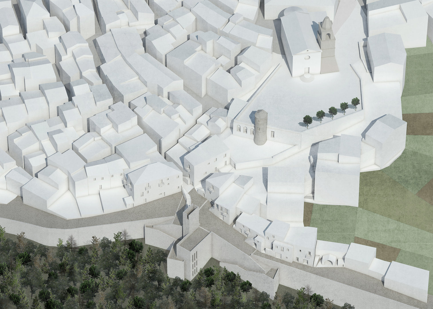
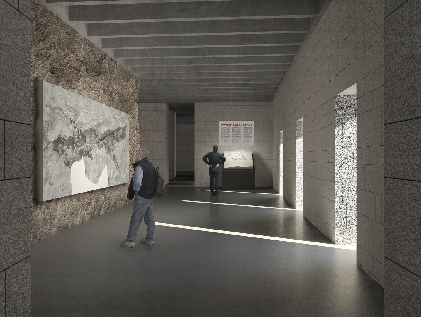
After the choice of a couple of villages, the work went on with the photo survey of the features and qualities of the old town centre, in order to identify the interventions for each district, through strategic plans on specific themes of interest.
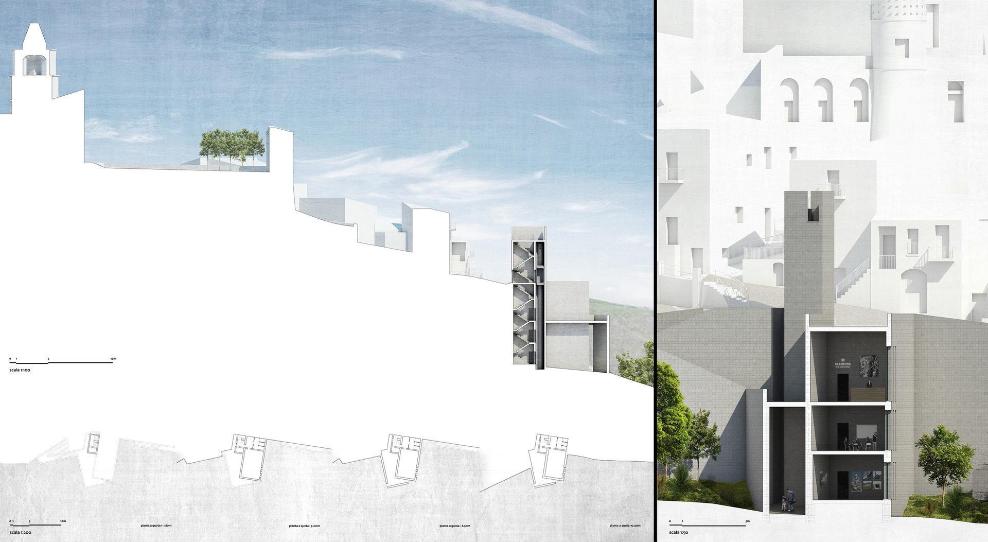
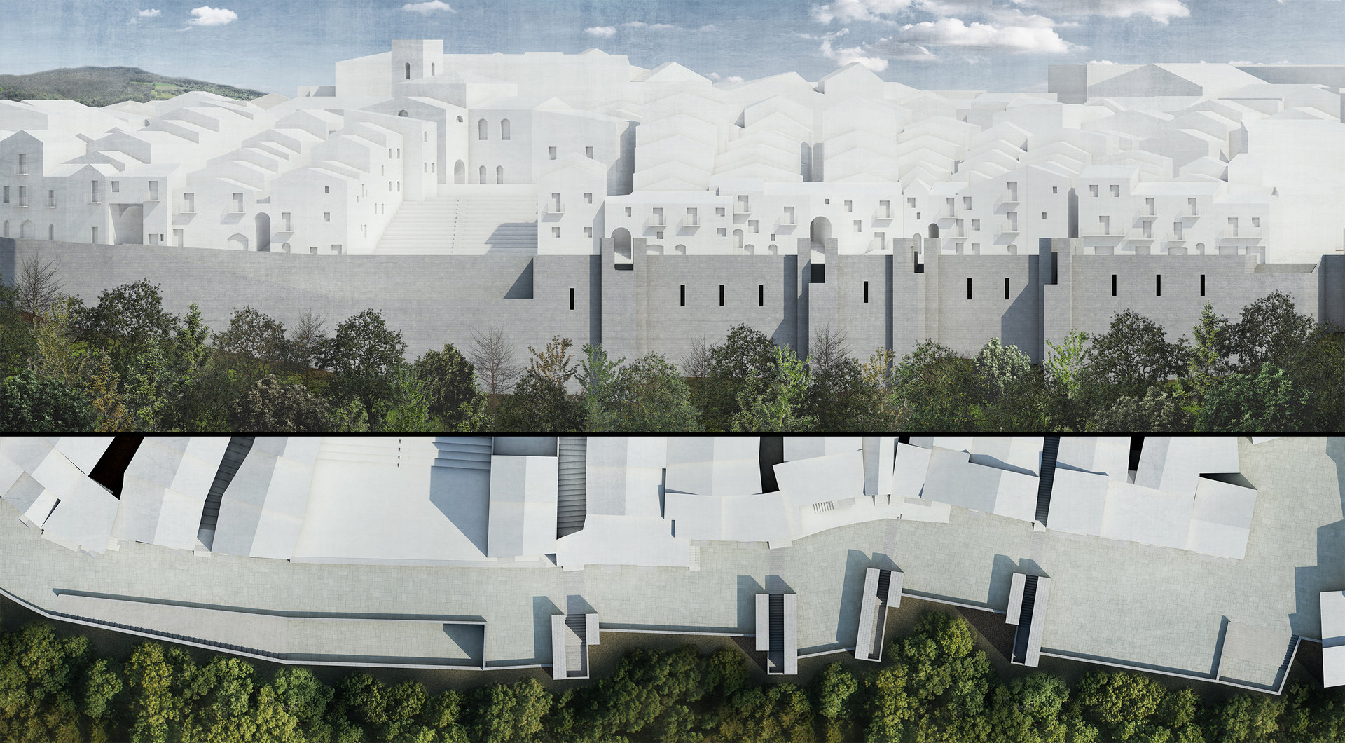
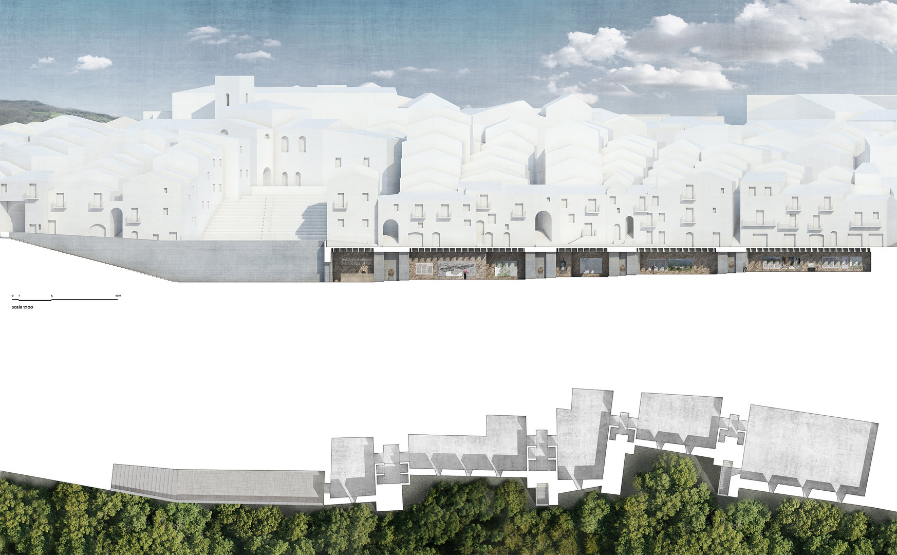
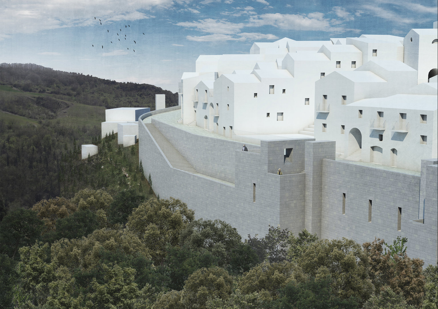
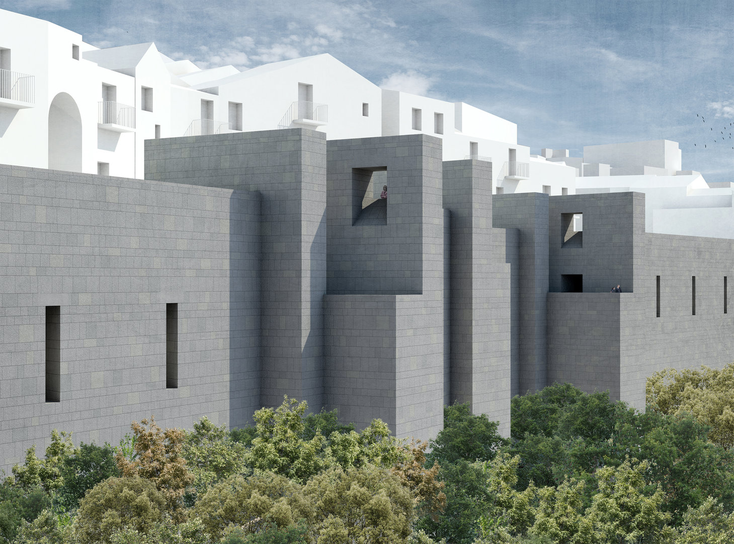
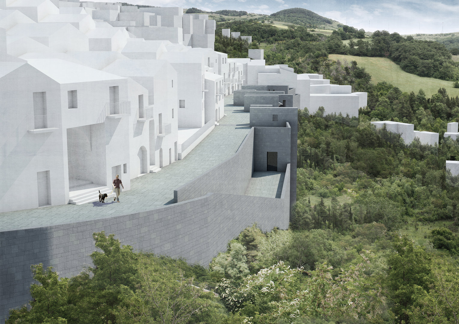
Next step was the representation, scaling up, of key elements for our planning exercise, such as significant sections about ”landing roads” to the single old town centres that we chose because they are considered peculiar fragments that can convey the condition of the whole town.
We classified the villages according to the relationship established between the orographic condition of each landing road and the surrounding landscape, finding two systems that are ascribable to the road-head model and the road-edge one.
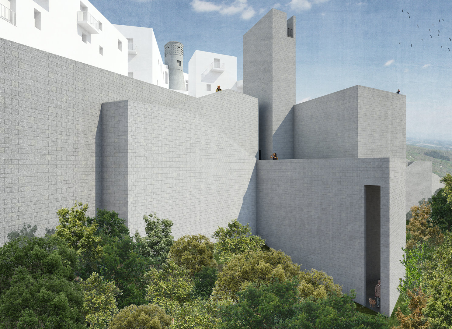
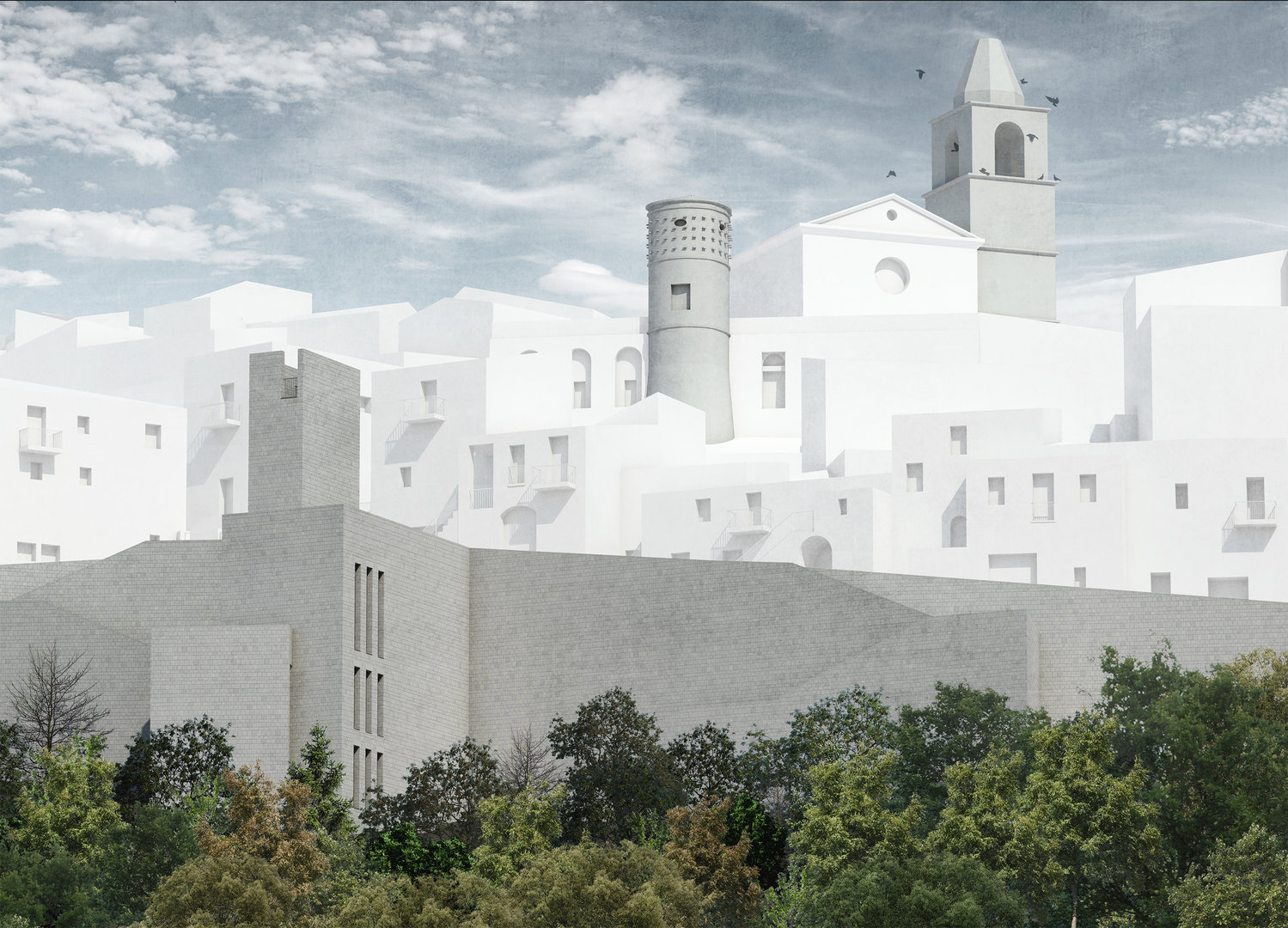
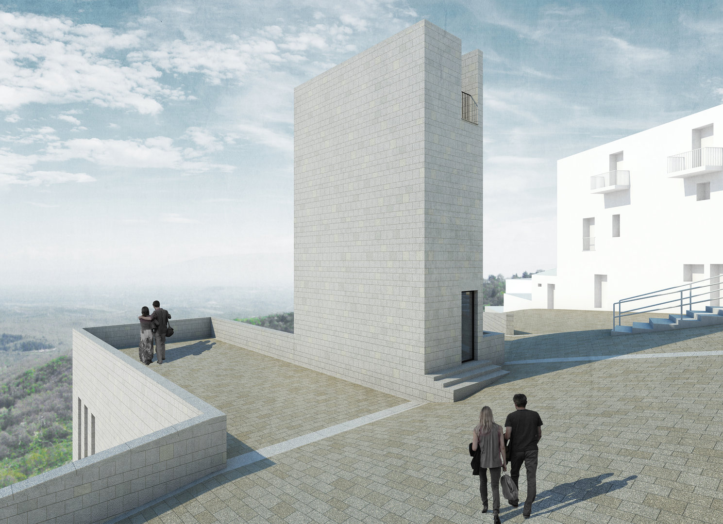
The analysis of the current situation of these models led us to the definition of the approach to the plans, finding two typologies of planning interventions that close our research work.
Our planning proposals aim at the development of the villages from both an architectural and landscape point of view, with the objective of keeping them alive as regards the space quality too.